Rockwall Trail - Field Notes
The Rockwall Trail is a 54 km backpacking trail in Kootaney National Park (Kootany is an anglicized name from the Ktunaxa people, which means 'people from beyond the hills'(1))) that runs roughly parallel to- and on the west side of- Highway 93. The 93 was, in part, what motivated my desire to hike to RW. I've driven this road a number of times, summer and winter, and have gotten tantalizing glimpses of the mountains from the highway. The highway is a beautiful and remote feeling, especially in winter and encapsulates a lot of what I love about the East Kootaneys.
I had originally booked 4 nights and 5 days to hike the trail, meaning that our longest day would be 15km, and the typical day would see us walk only ~10km. But, I messed up the booking, and could only get Flow Lake on one night in July, and the campsite 10km before Floe Lake was not free the night before. So, 3 nights, 4 days and a 20km leg. Right.
Day 1, Paint Pots to Helmet Falls
Depart 13:40
Arrive 18:50
14.9KM, 310m of elevation.
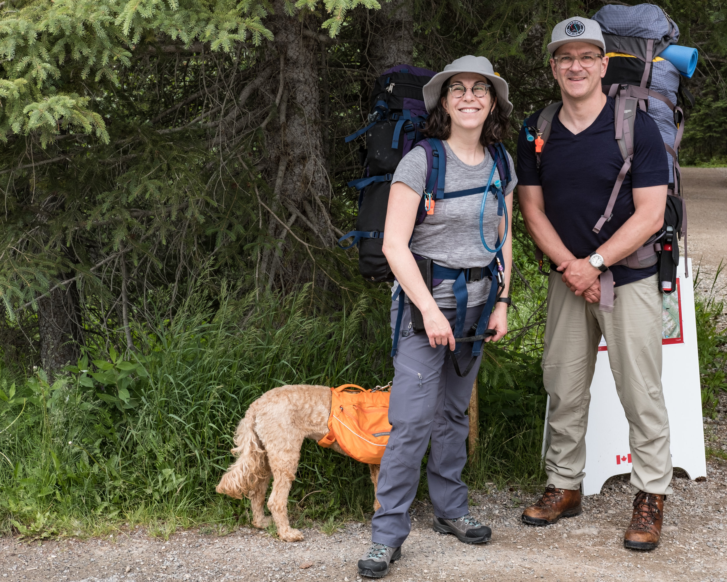
We started on a busy afternoon, parking at the trail head full of typical summer traffic - large camper vans and RVs and many cars from many places including Alberta and BC (of course), but also Oregon, Washington and from out east.
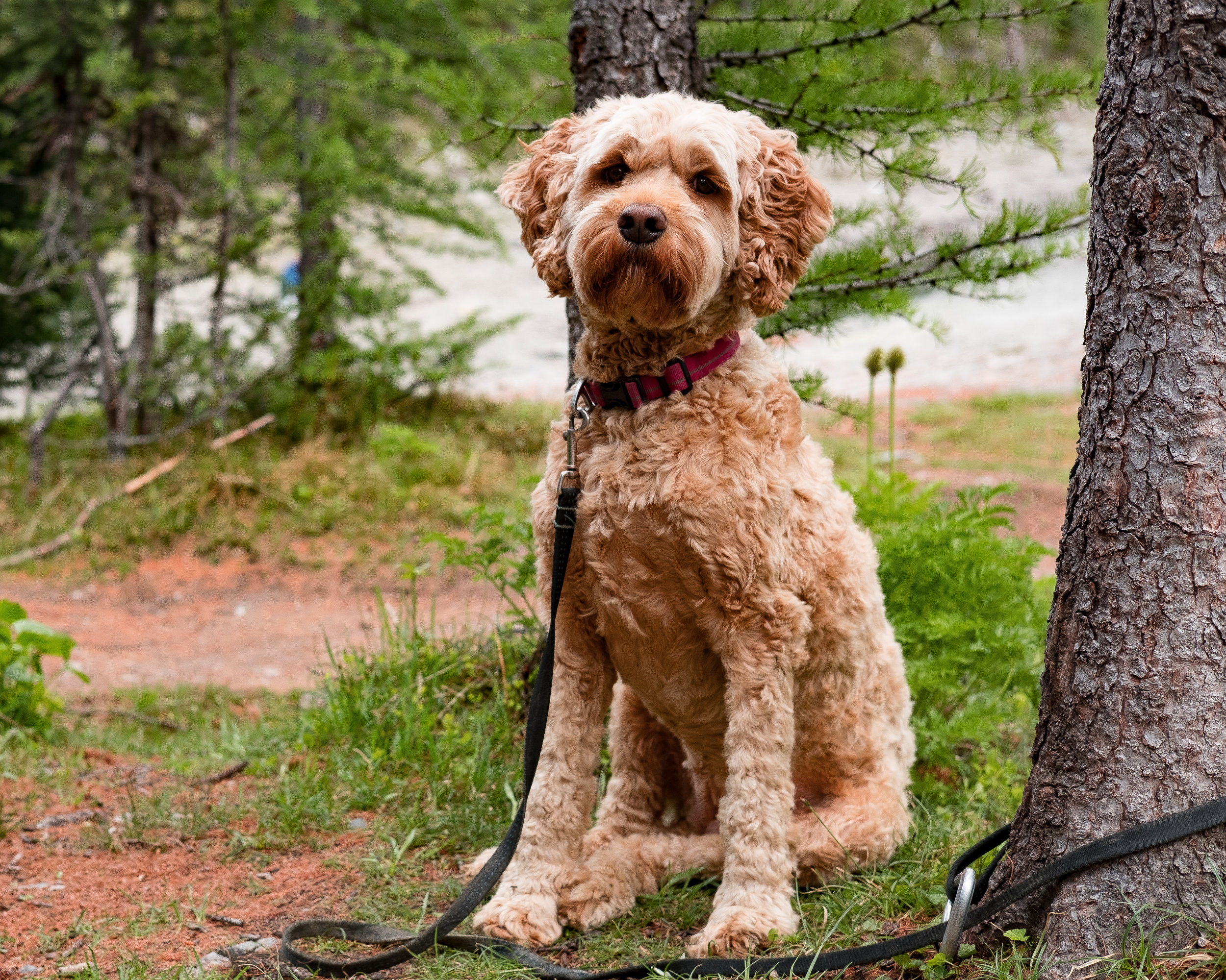
Erica and I take a few minutes to organize our bags and to leash up the dog. I shoulder my pack - I had forgotten how heavy 45lbs felt - and after a pause for a selfie, we head out. The trail up to the Paint Pots is pretty busy with all the drivers of those cars, and the Paint Pots themselves are interesting. But we don't pause for long as it's already late in the afternoon and we have some miles to walk.
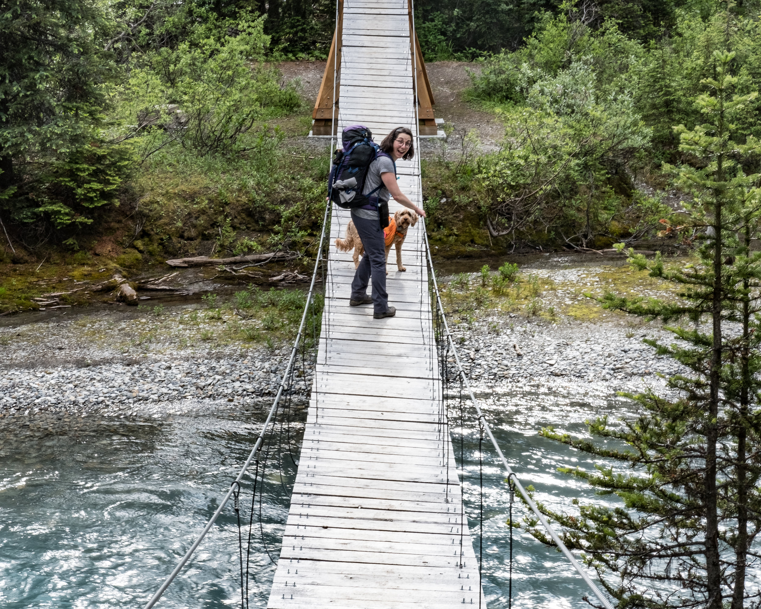
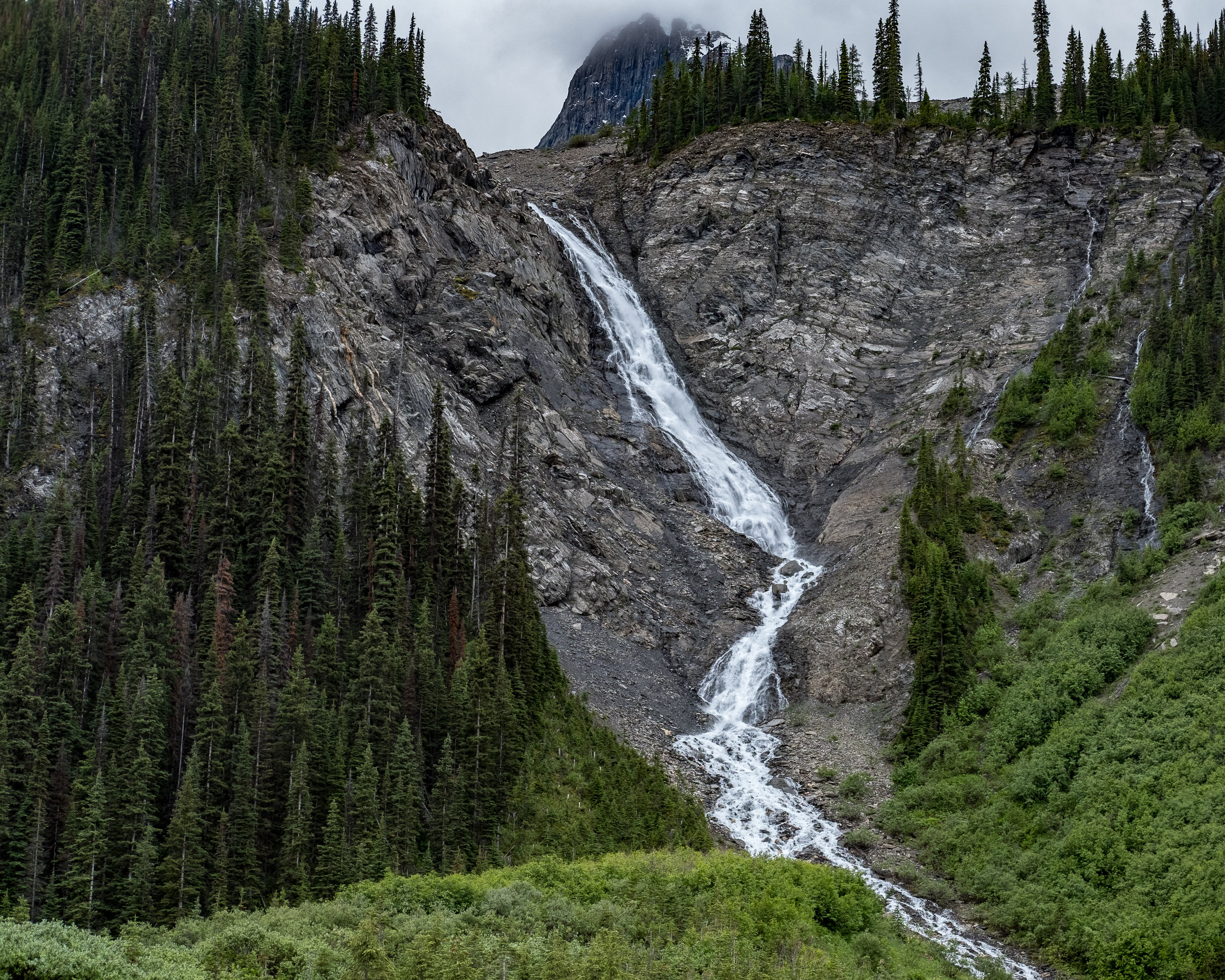
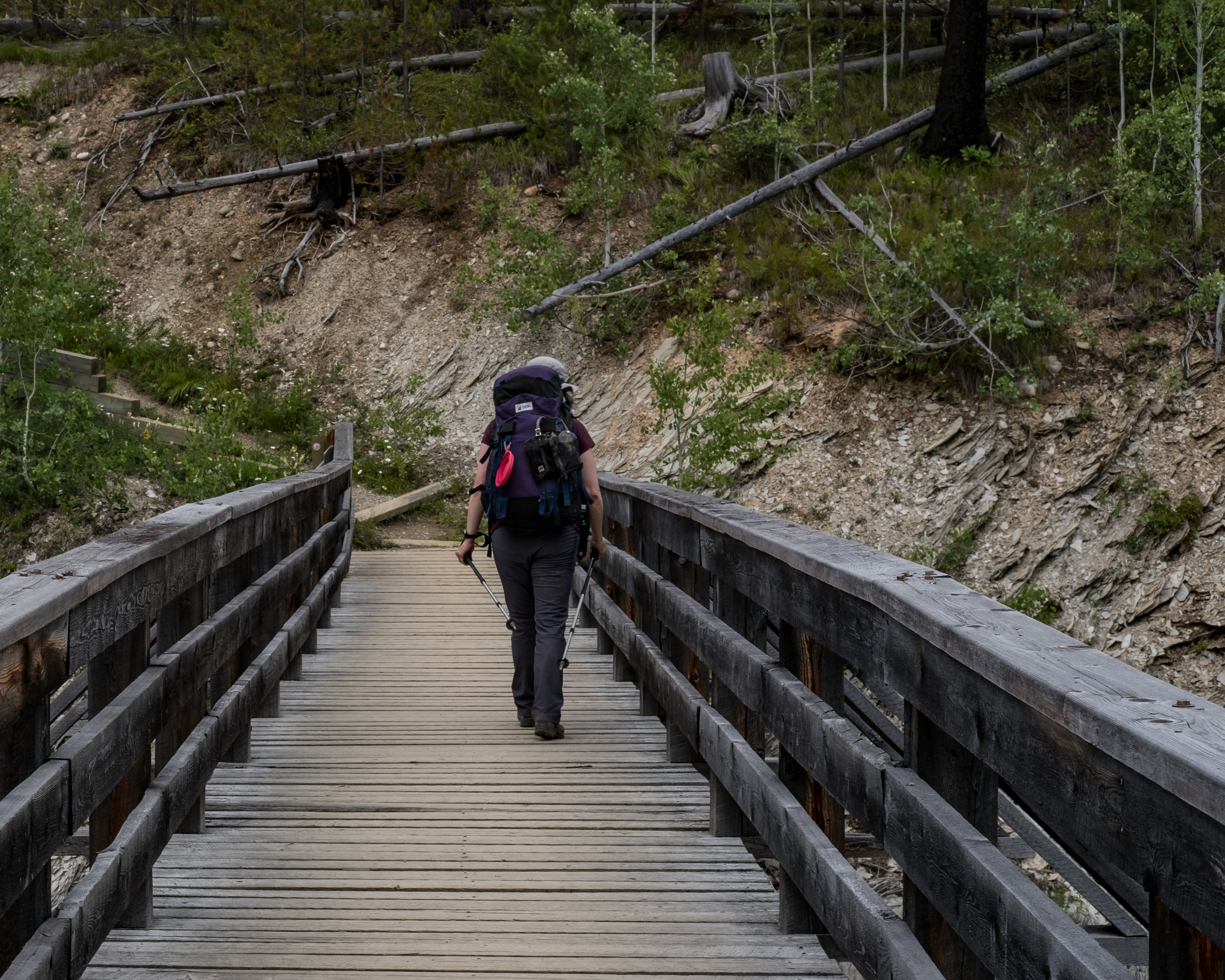
It's a long day of steady but easy hiking with some minor steeps and continuous elevation gain amounting to 310m over the 15km. The reward at the end of the day is a lovely river crossing on a suspension bridge (we stopped for a brief bite and to fill up or water bladders at the river’s edge) followed by views of Helmet Falls, The Rockwall, and the cute Warden's Cabin.
Day 2, Helmet Falls to Numa Creek
Depart 09:25
Arrive 19:45
19.4KM, 1050m of elevation
This was a gruelling day that tested our endurance.
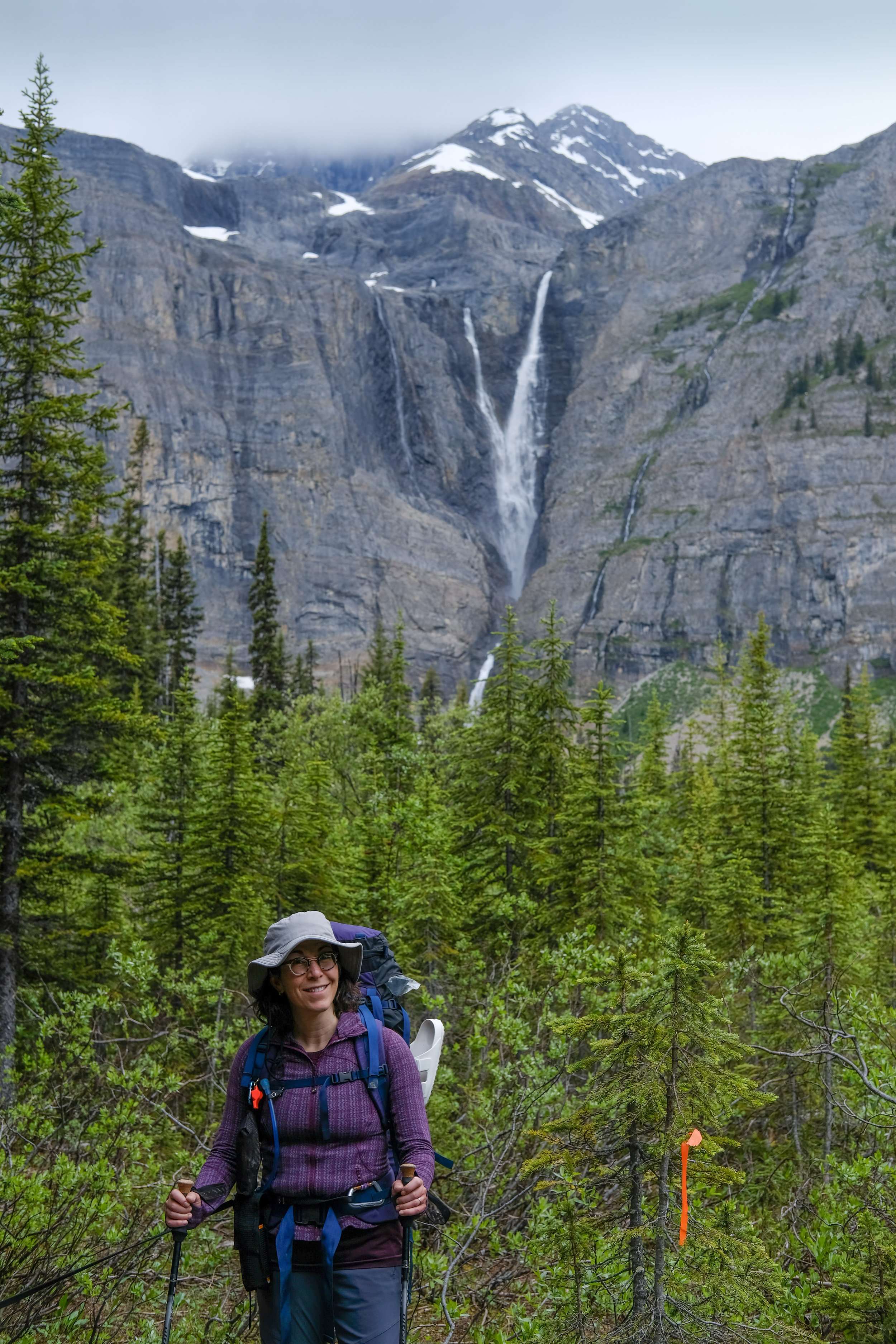
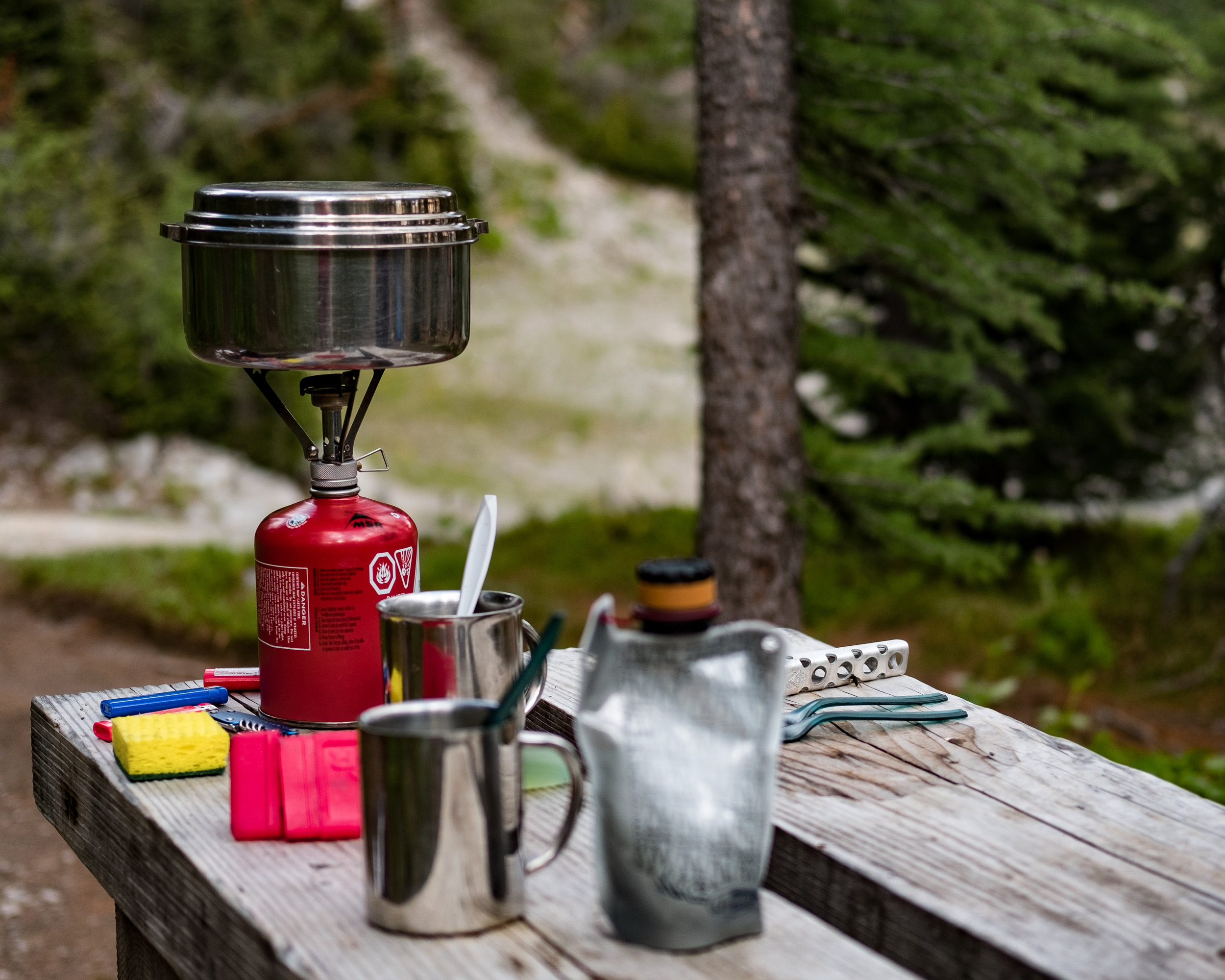
After a breakfast of homemade oatmeal packed with with dried fruit, coffee and chocolate (I love backpack for the simple fact that I eat chocolate for breakfast, guilt free), we started hiking up the valley to unimpeded views of Helmet Falls. The views of the falls would foreshadow the rest of our day as we would go over two mountain passes and spend some time in the high alpine.
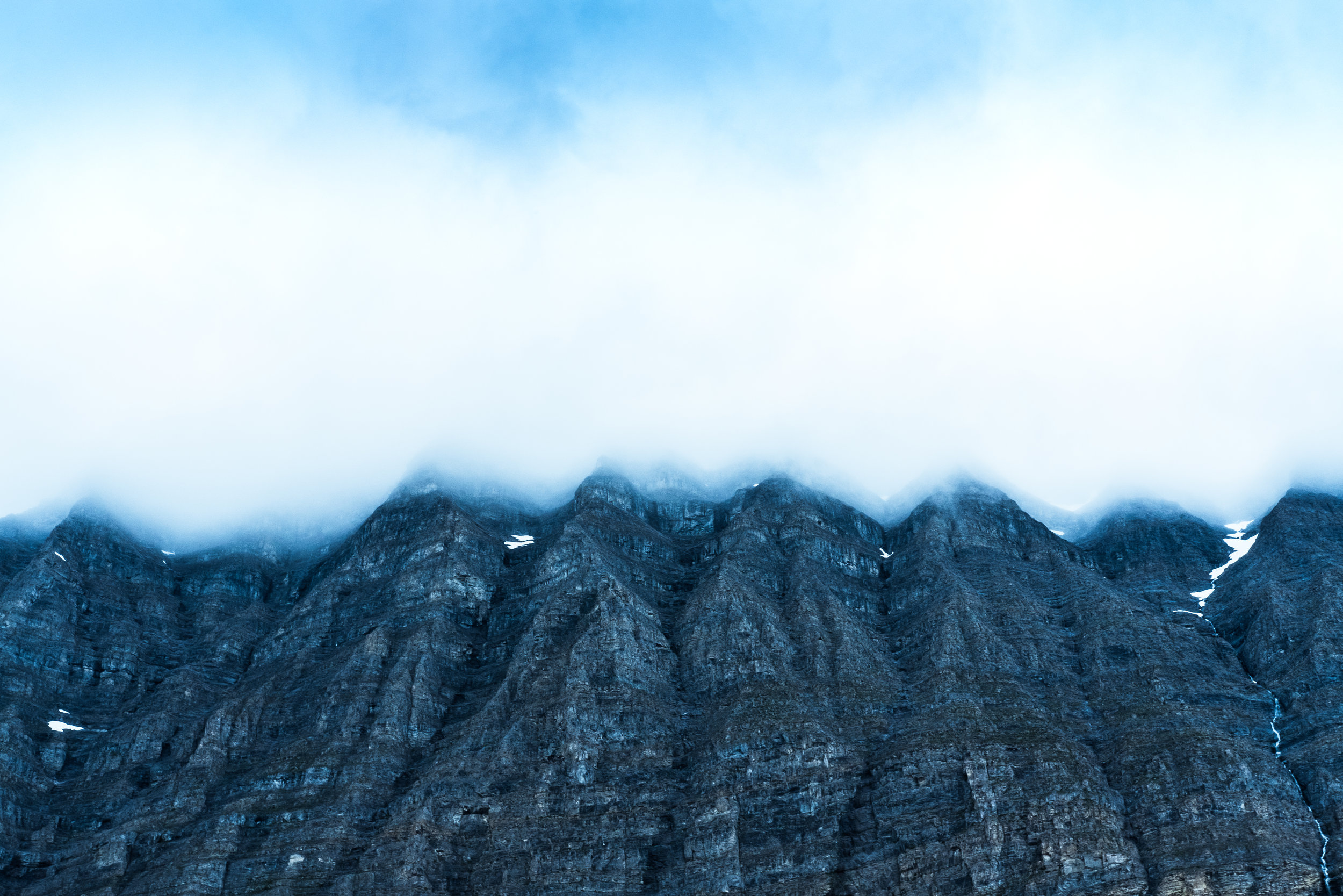
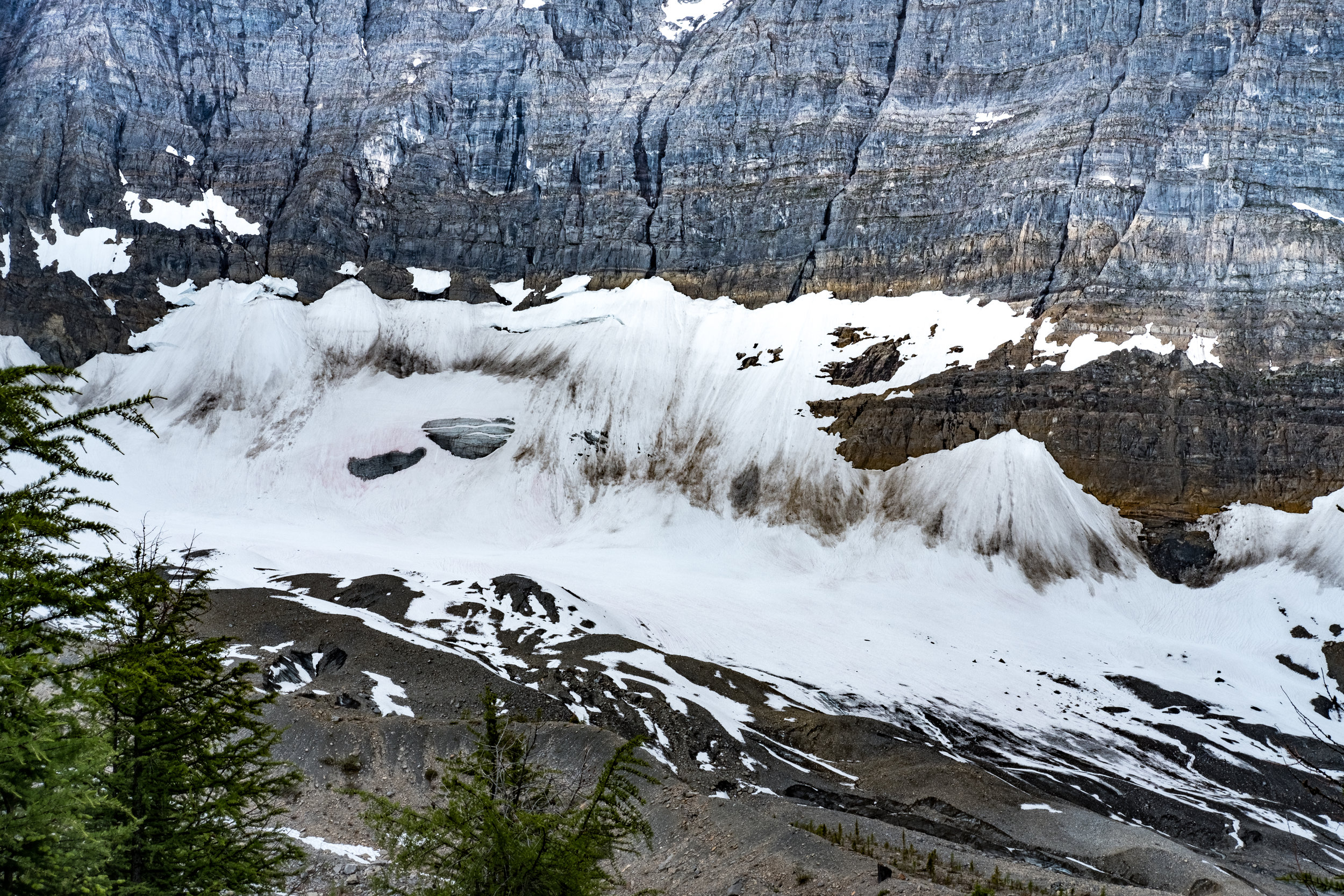
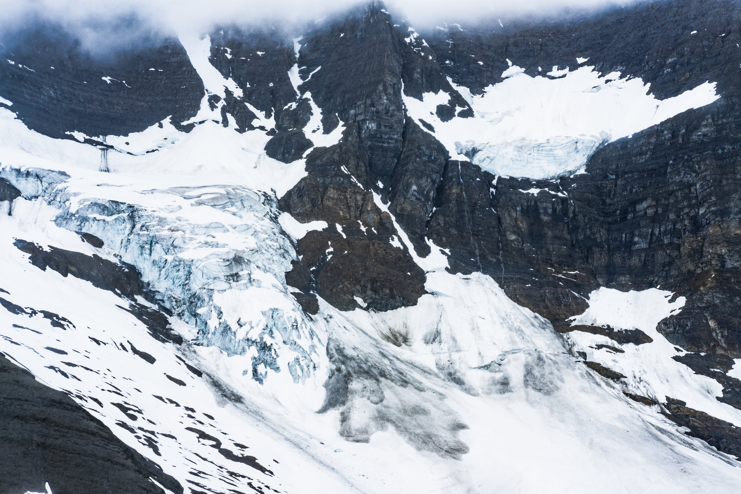
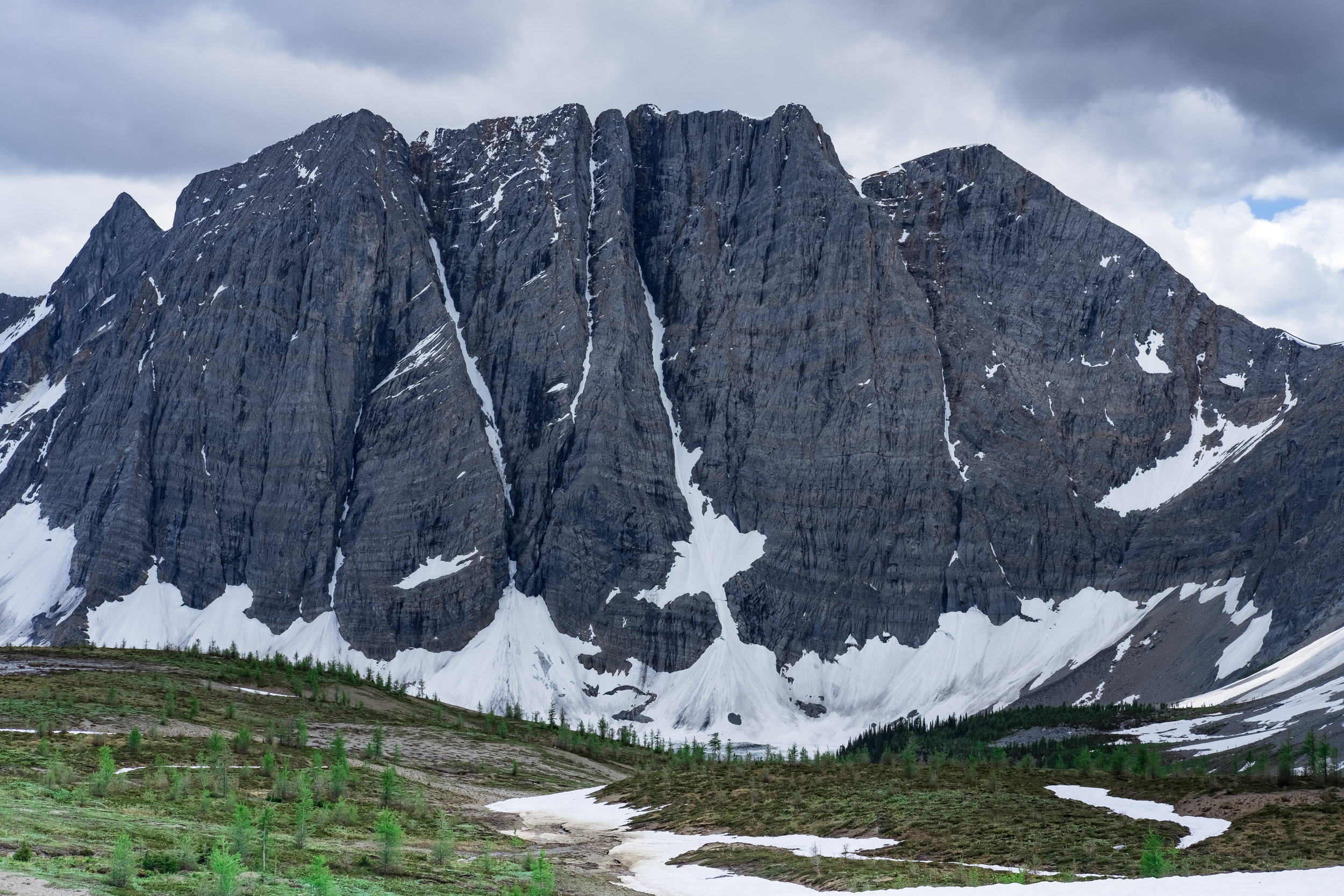
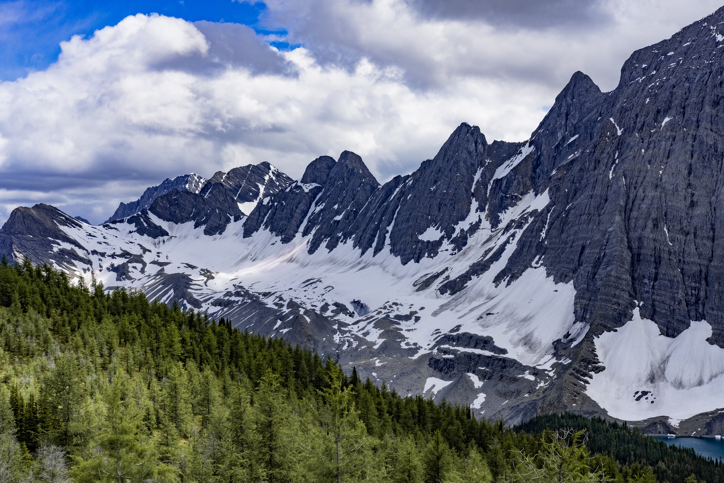
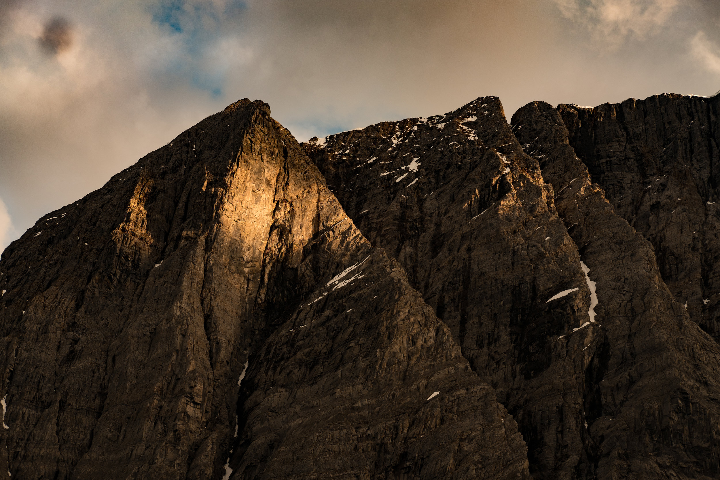
We gained some elevation and walked under Limestone Peak (288m) that was hidden in the clouds. Most of the Washmawapta Glacier, just south of Limestone Peak was also hidden from view, with the exception of a smaller portion of the glacier that lay at the foot of the wall. Washmawapta means 'ice river' from language of the Stoney Indians.
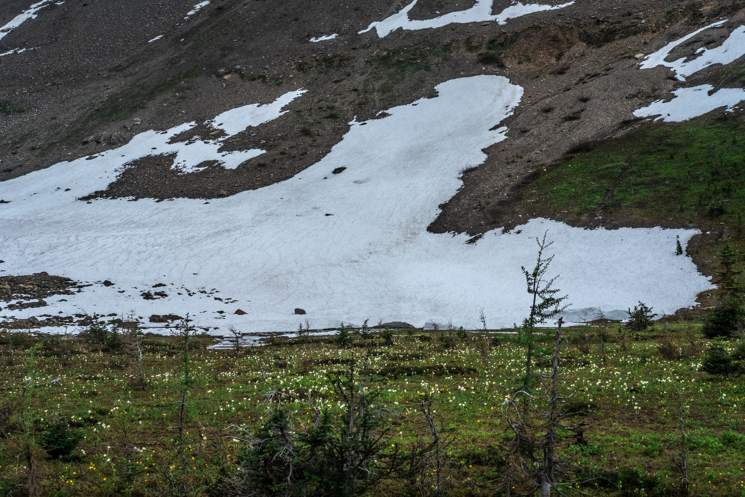
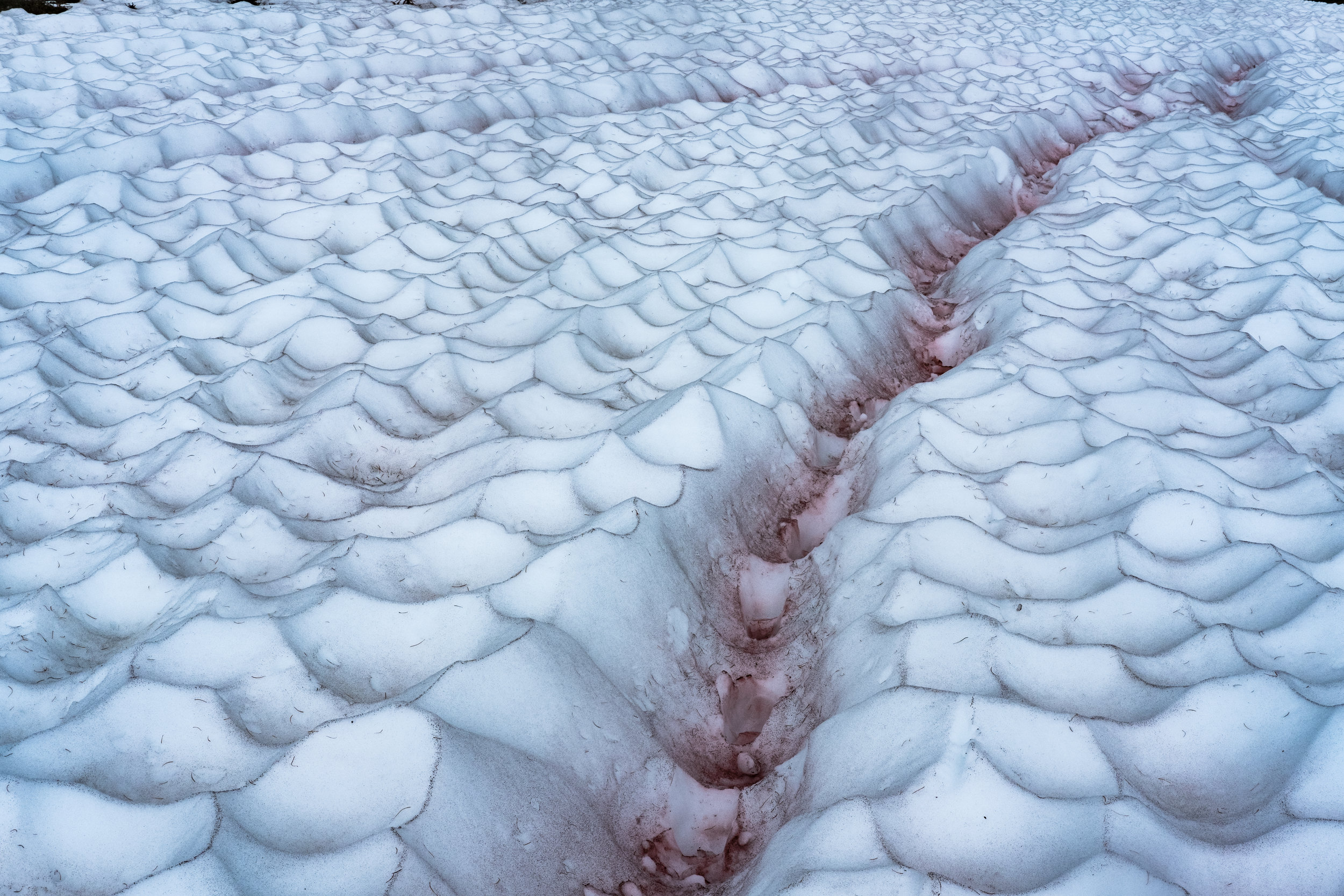
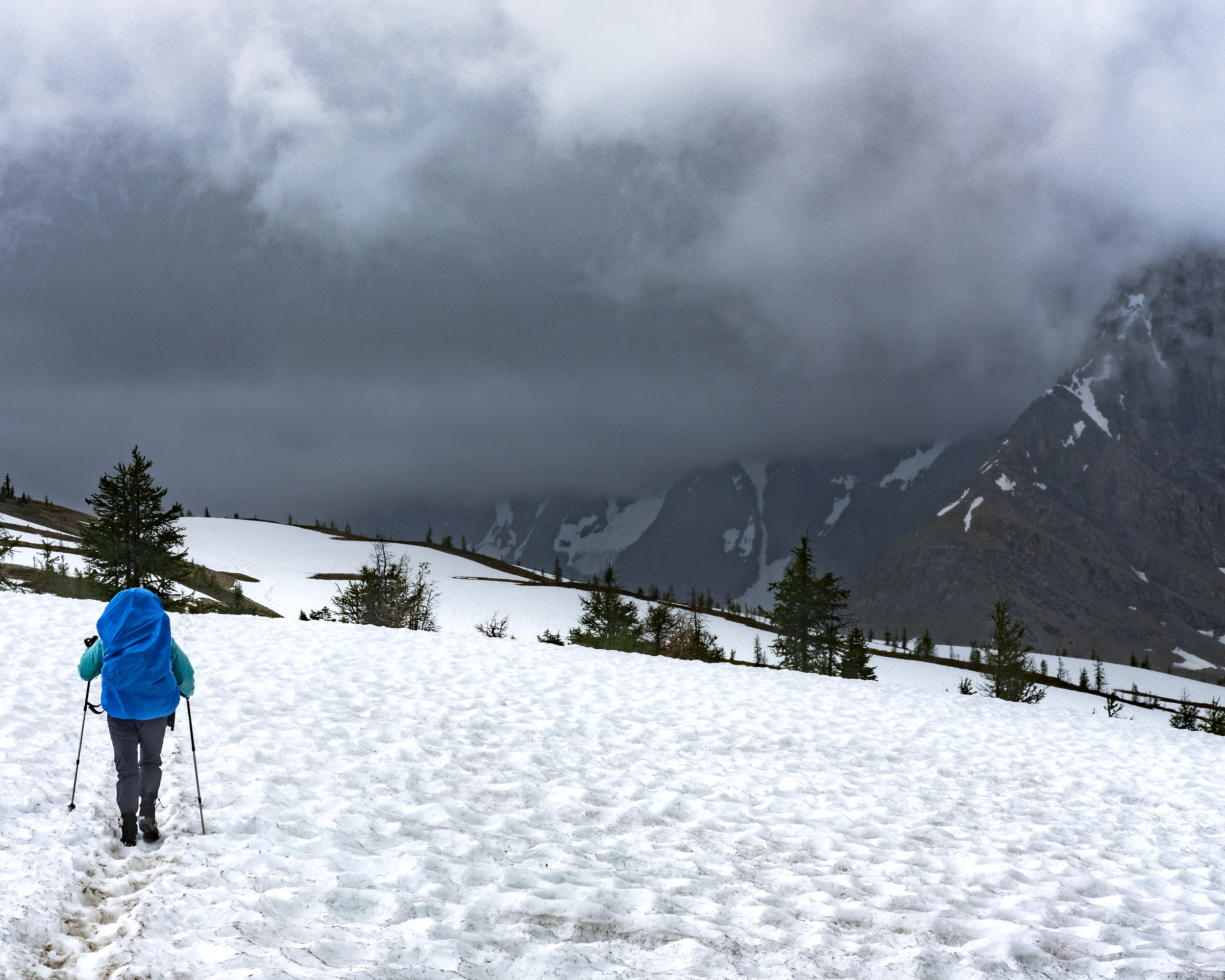
In addition to grand views, the ascent up to Rockwall Pass also brought rain, mud and large pockets of remnant snow, but we were prepared with short gators and hiking polls. It was exhilarating to be tracking across the high plateau through knee deep snow and across streams, through the mud with the Rockwall ever present to our right. The high alpine snow was fascinating. Textured and multicoloured, streaked with watermelon pink from algae living in the snow.
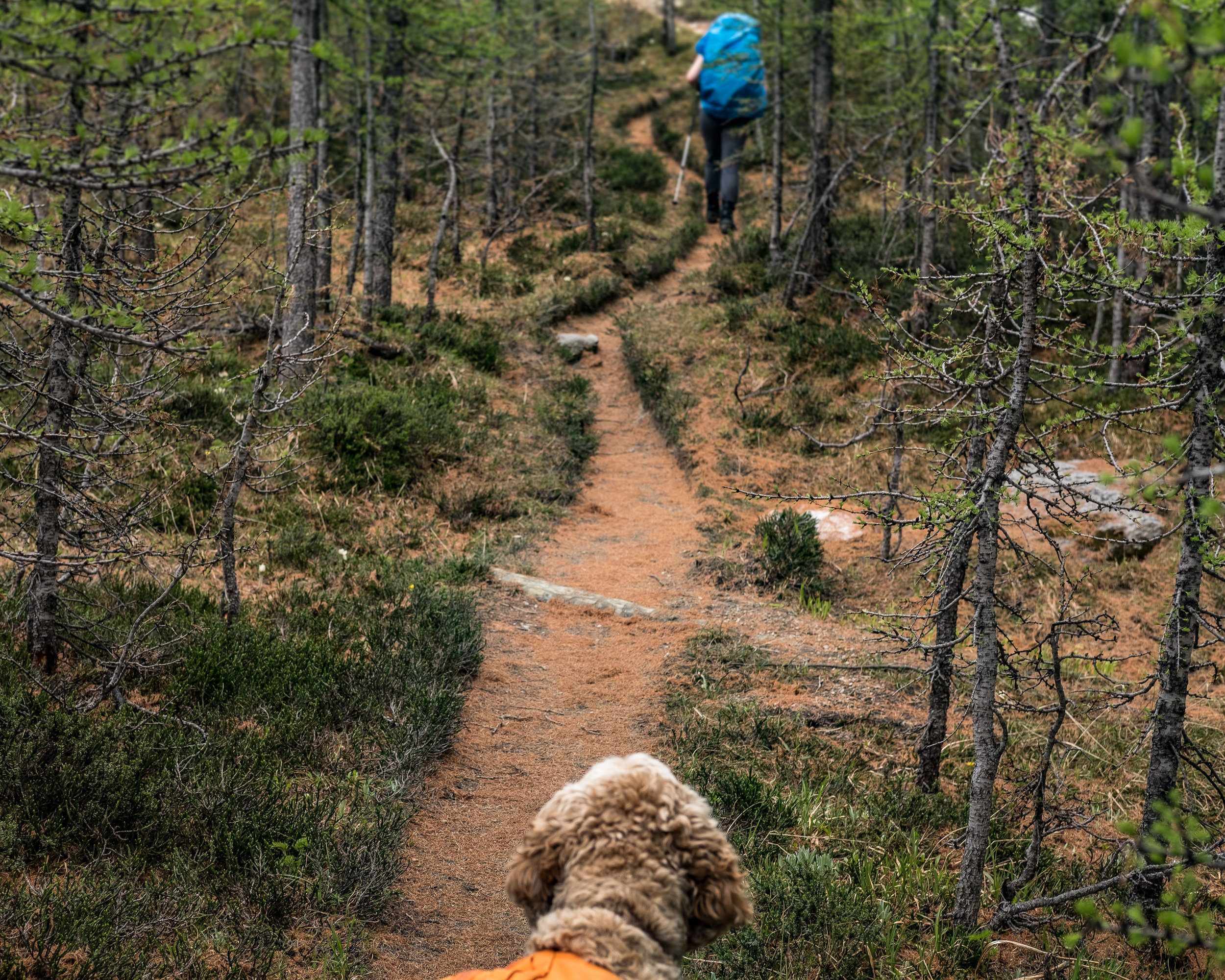
We keep to the left at the Y in the trail, heading towards Tumbling Creek and away from Wolverine Pass. After another long traverse across Wolverine Pass Trail, exposed and vulnerable to the elements, we descend from the snow, the trail orange-brown and sinuous through the grass and trees. Hungry and a little over extended we arrive at the Tumbling Creek Campsite and stop briefly to eat Montreal Bagels, PB&J, and the last of the beef salami and cheese. I was happy to eat, as each mouthful lightened the load in my pack.
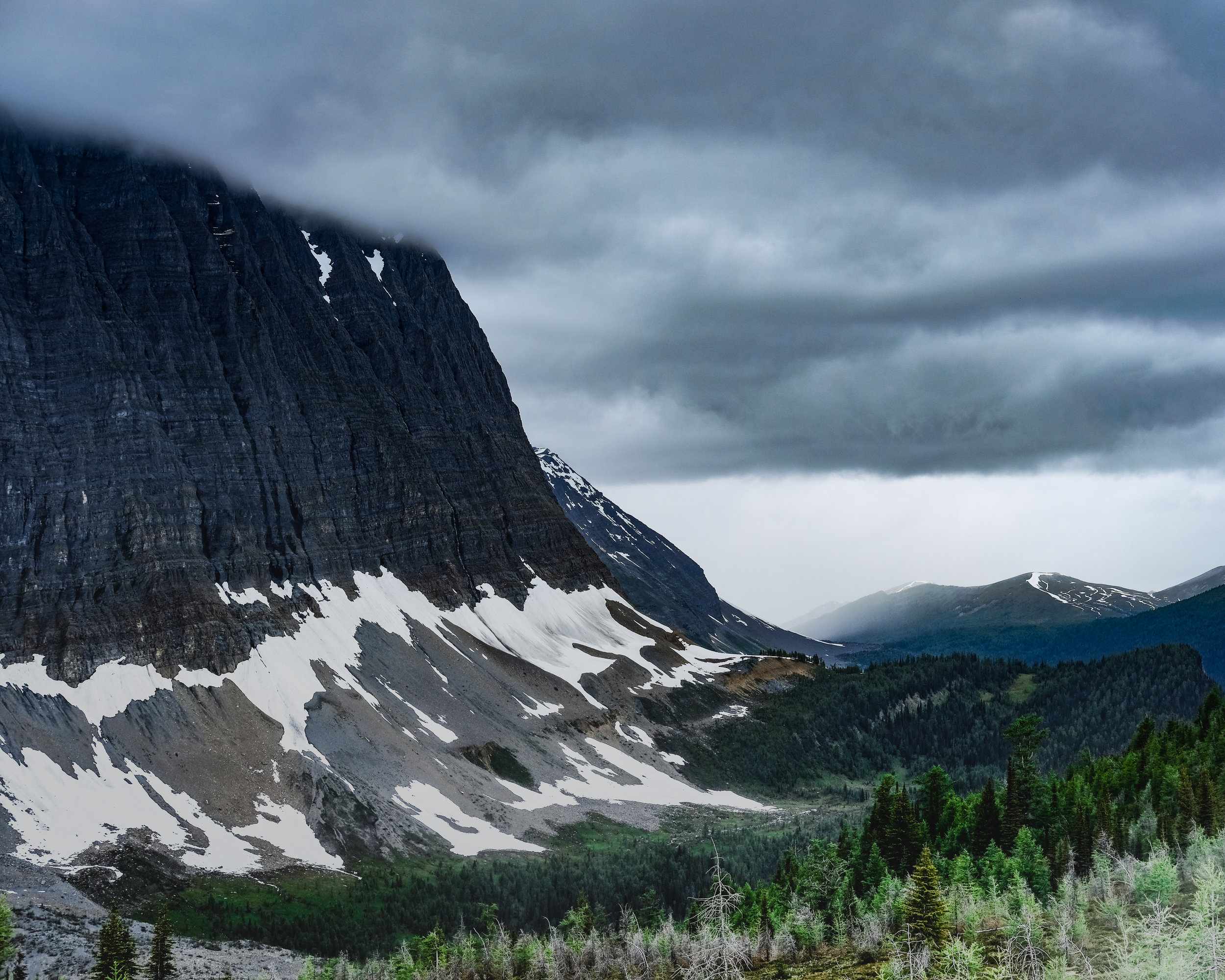
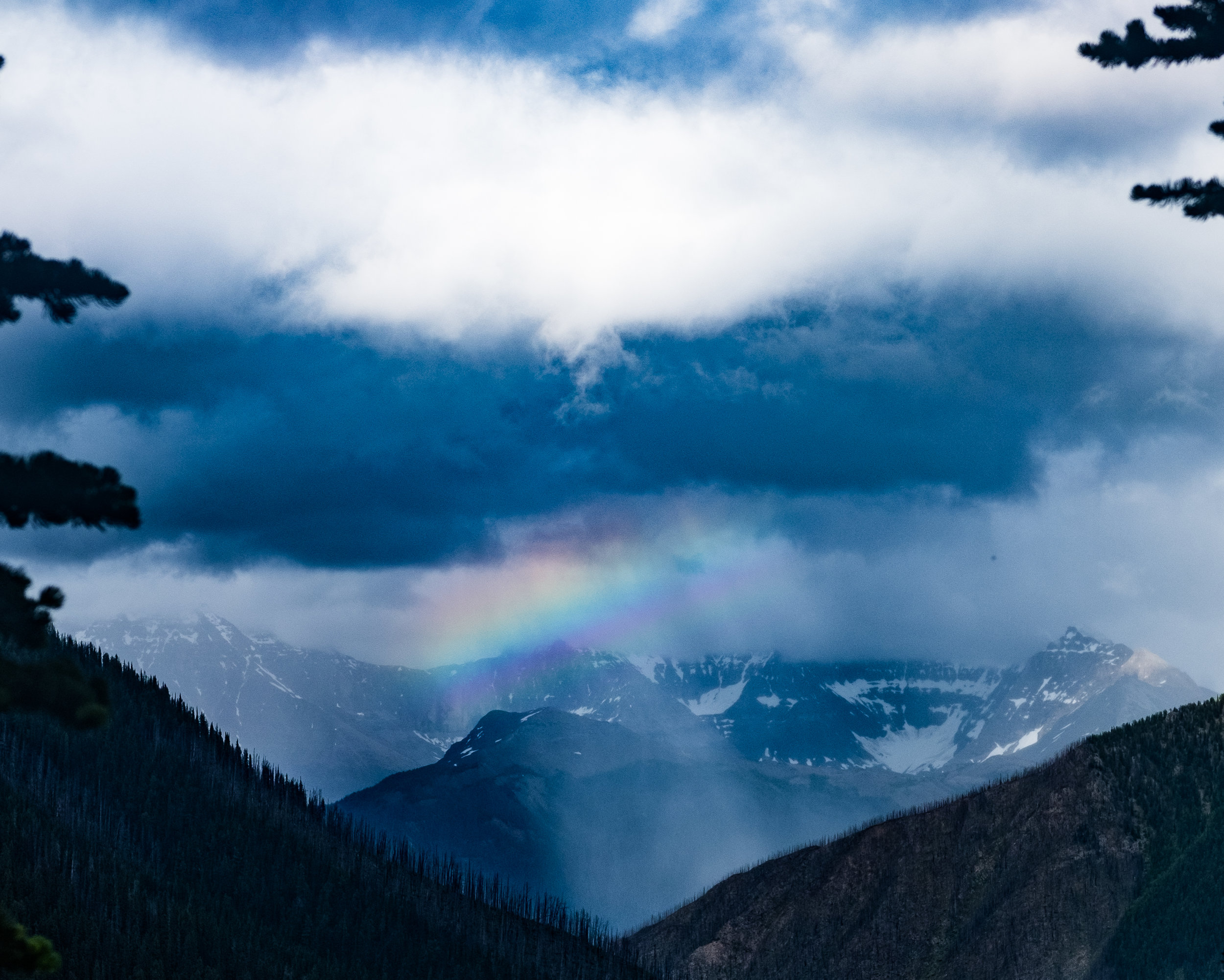
We proceeded to the second and shorter leg of the day, up and over Tumbling Pass to Numa Creek Campsite. Numa is a Cree word for thunder, and Numa Peak was once called Roaring Mountain. Tumbling Pass offered similar views of the Rockwall, but wetter! Tumbling Glacier and Peak and Hewitt Peak (both over 3000m) loomed over us, and a vast limestone face paralleled the descent, huge and glowing in the wet sunlight. We paused and watched the rain move up the valley from the northeast as a rainbow made a brief appearance between the clouds and mountains.
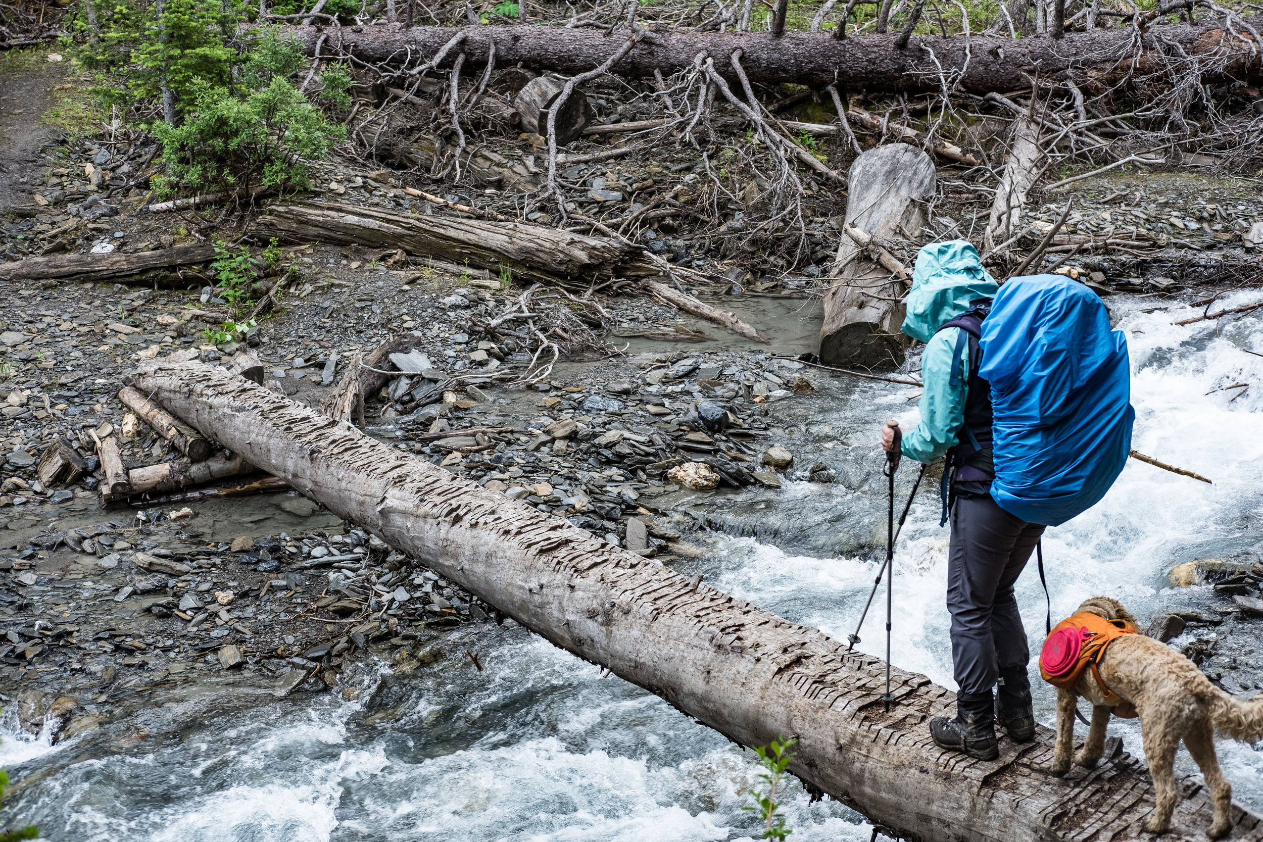
The switchbacks down to the Numa Creek Campsite were treacherous and cut by many streams that were easy to cross, and one that took some effort. There was no bridge across the steep and swollen creek with sketchy rocks and cold fast flowing water, our feet got wet and it could have easily been much worse!
Erica and I were getting tired when we entered the endless mud luge narrow, steep and slick trails descending tight through tall and wet vegetation. We paused often hollering for bears, passing a sign saying 2.5km to the campsite and then proceeded to walk what felt like 10k.
Finally, after 10 hours and 20 kms we got to Numa Creek. Dinner was quick, sleep was deep.
Day 3, Numa Creek to Floe Lake
Depart 10:20
Arrive 15:40
10.0KM, 830m of elevation
The approach to Numa Pass is surprising in it's steepness and quick ascent up the headwall. Starting gently as the trail follows the upper reaches of Numa Creek, we have great views of waterfalls and mountains to the southwest (always with the views). Pausing briefly for some snacks, we start up the steeps.
We emerge onto a sloped Tamarack Forest, snow dappled with fallen needles from last autumn, and we continue upward. More snow lay in the most shaded areas, with mud covering the trail, simple in it’s beauty of muted browns, green and white. Finally, we break through the tree line and watch as another couple traverse the northern slopes of Numa Pass, moving from scree to snow and back again, up and over.
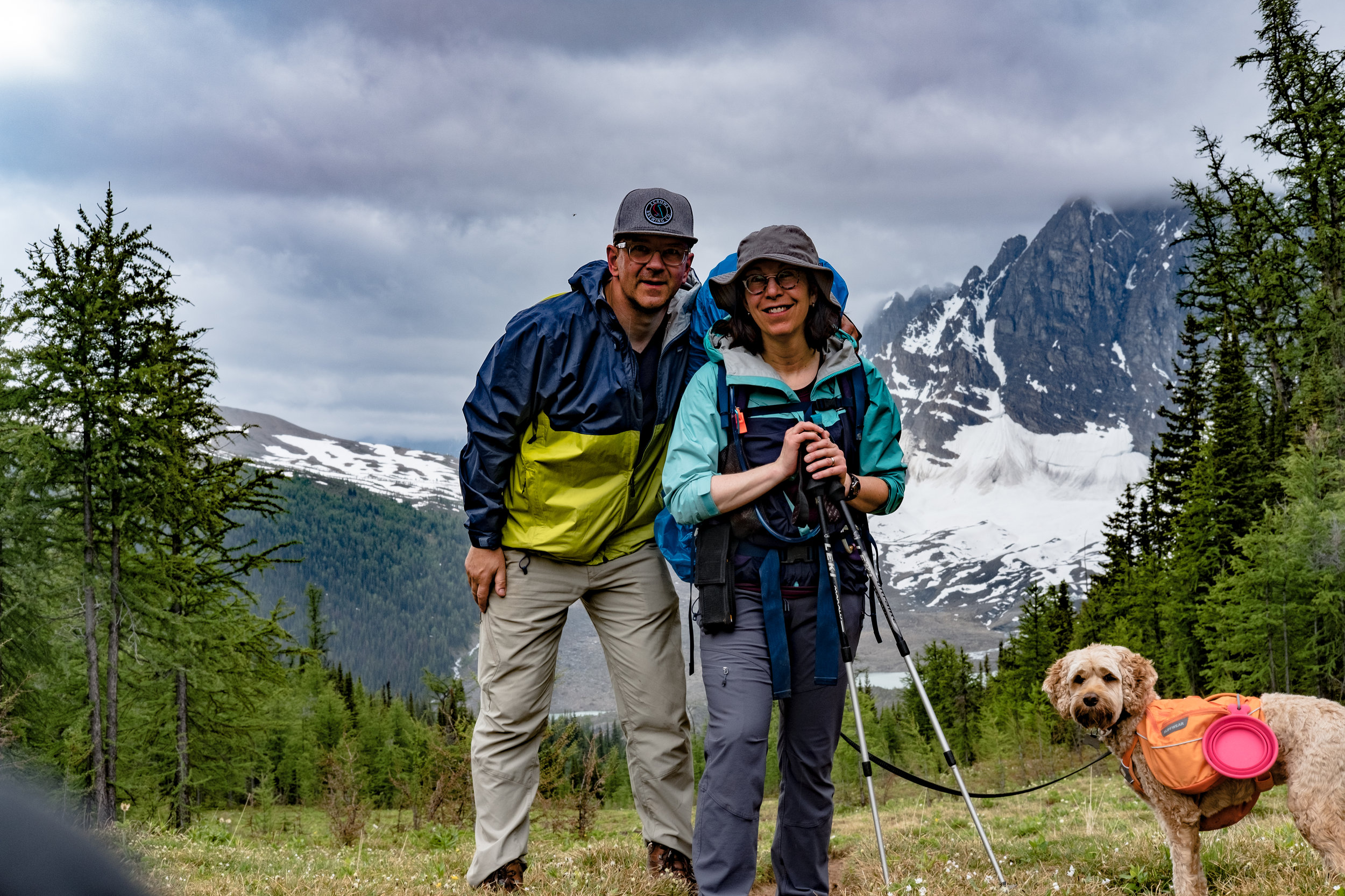
We follow their footsteps, pausing to look back to the northwest as we gain elevation. Finally, just after 13:00, we crest the pass (formed between Numa Mountain (2487m) to the northwest and Foster Peak (3201) to the southeast) and have our first glimpse of Floe Lake and Floe Peak (3006m). We also note, with joy, that we've completed all of our significant elevation - it's literally all downhill from here.
On the lee of the pass we see willow leaves littering the snow, likely blown over the pass by an anabatic wind from the northwest, flowing up and over much more easily than us.
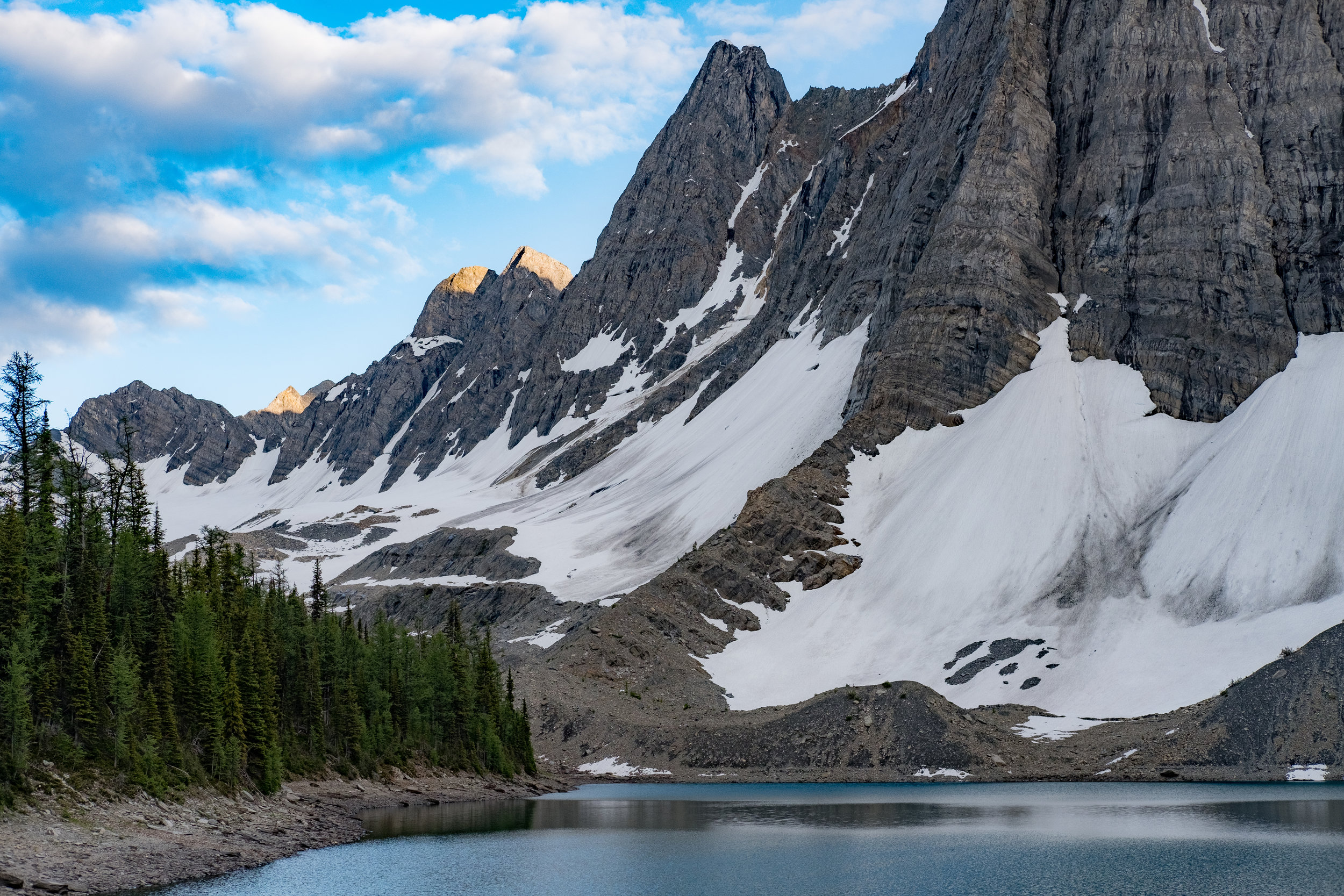
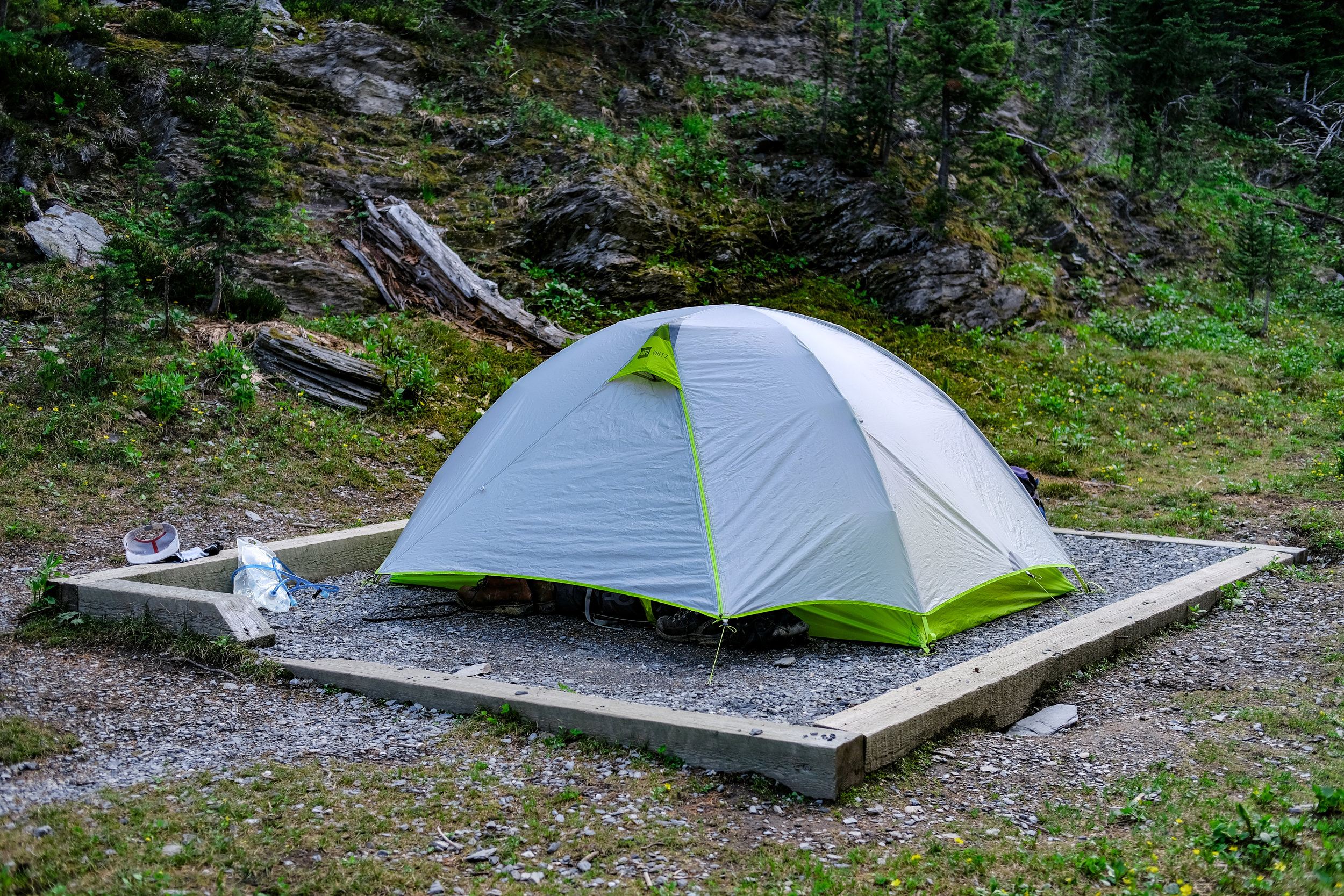
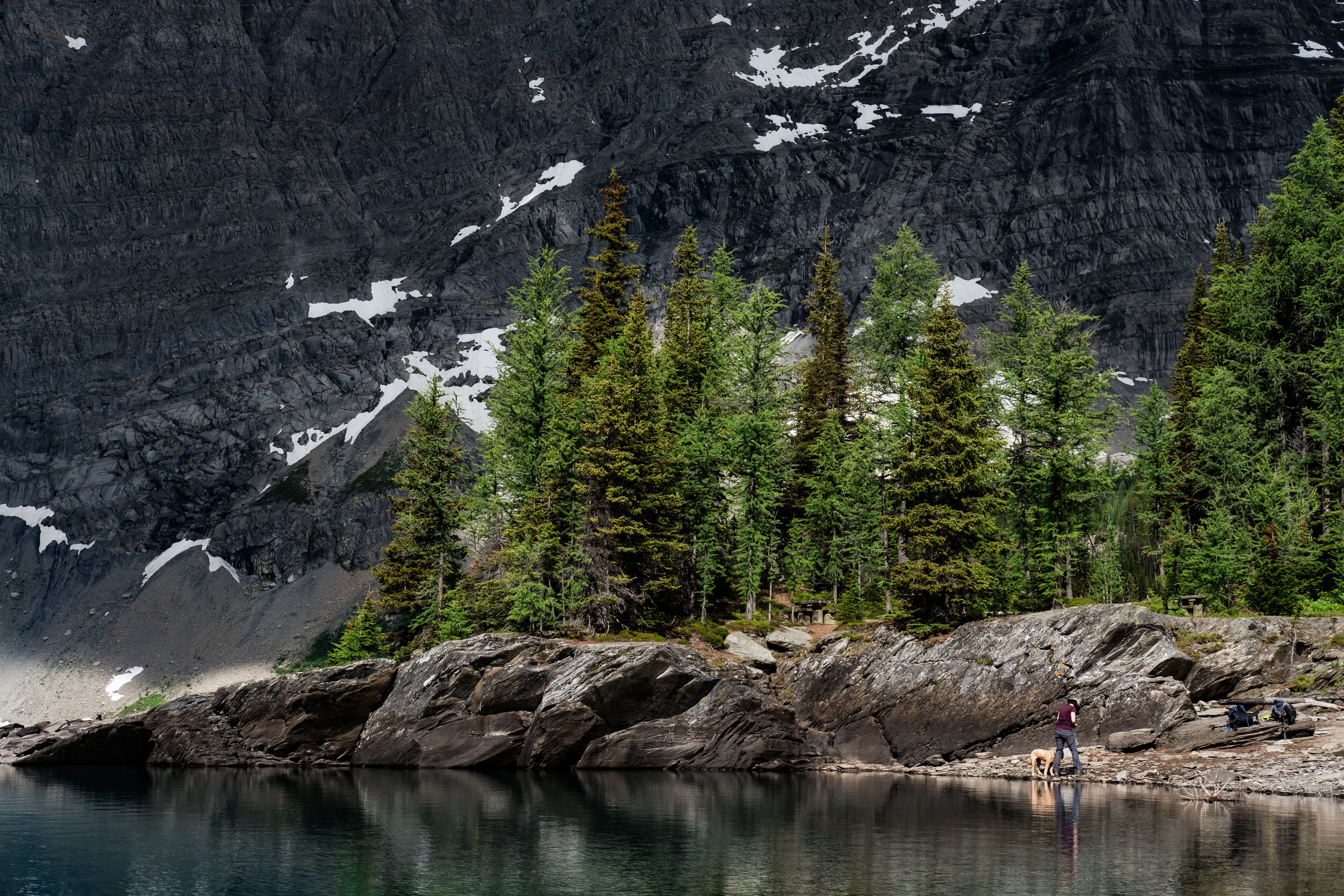
Down down through tamarack, then spruce and pine to Floe Lake. It's early, so we set up camp, introduce our dog to the other camp mutts, and sit lakeside watching the light play across the glaciers, rocks and water of Flow Lake.
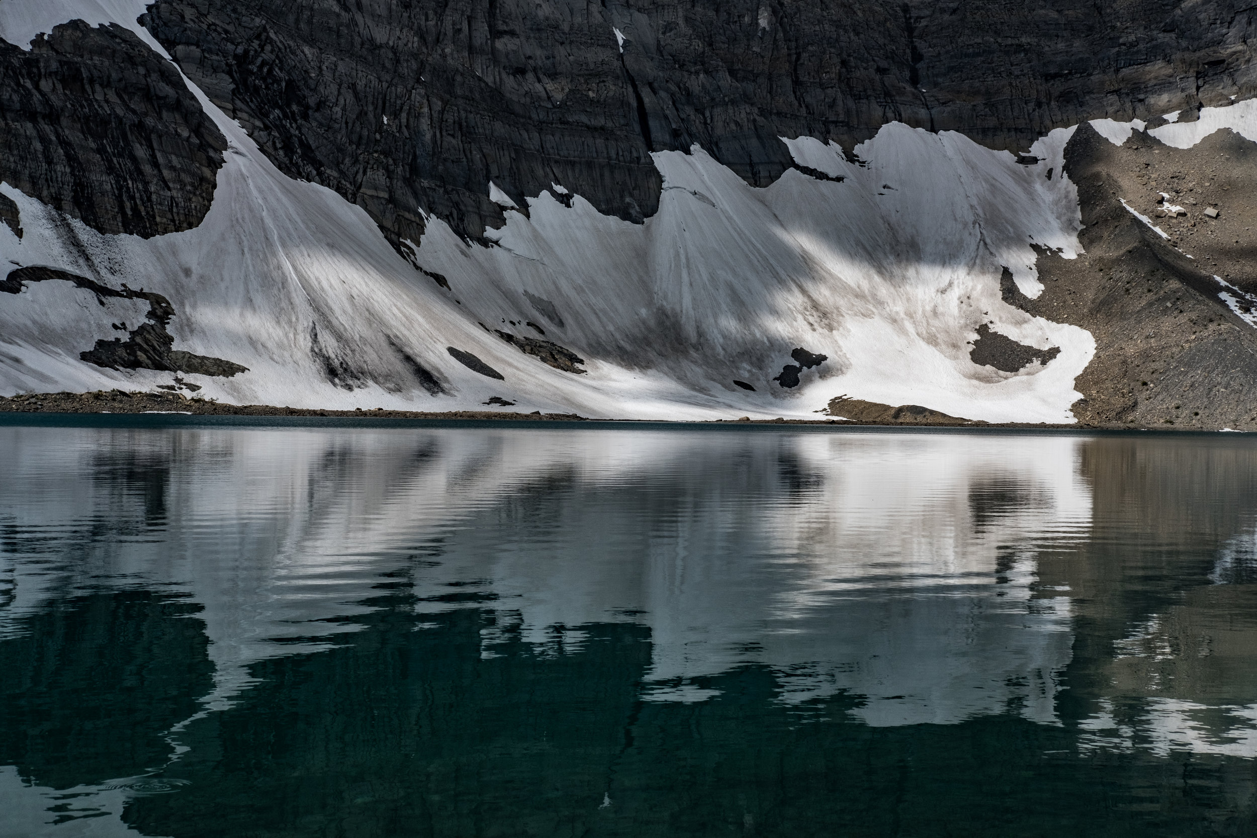
The shifting light on the gentle arc of a terminal moraine is magical. One minute backlit by sun on snow, the next front lit as the sun and clouds shift, moving the intensity of the light to the lake. This plus a million variations as the sun arcs west and the clouds shift on the wind to the south, opening and closing like blinds letting in the light.
Day 4, Floe Lake to Floe Lake Trailhead
Depart 10:40
Arrive 14:40
10.5KM, 715m descent
We linger at Floe Lake, drinking coffee and packing slowly. It's sunny and lovely and we are (in part) still tired from the previous days hiking and (in part) taken by the beauty and majesty of Floe Lake.
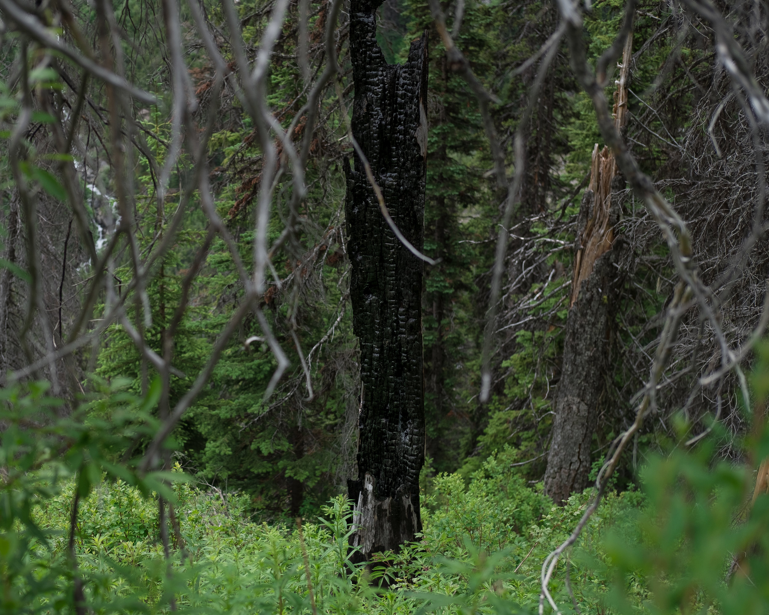
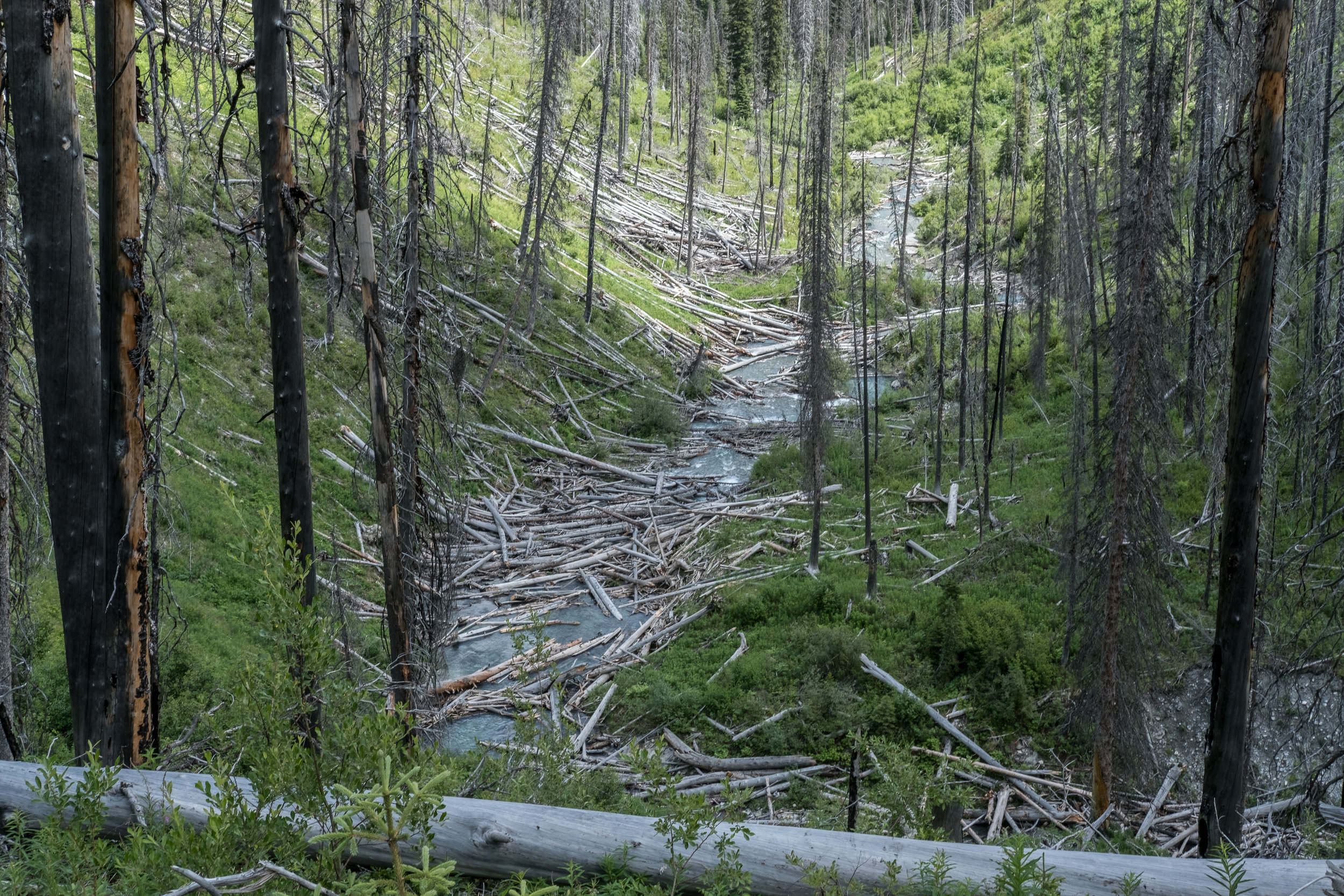
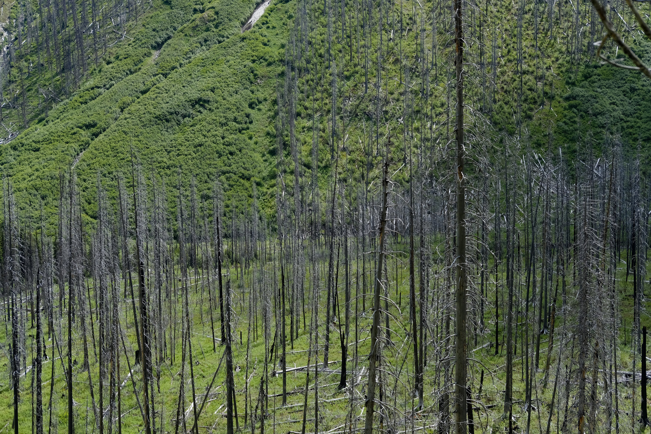
We finally get on the road by 10:40, and are immediately going down, descending thought forested switchbacks that quickly turn to the recovering remains of the Verendrye Creek Fire of 2003. The fire section is exposed and hot, with little access to water. The hike turns from a pleasant walk through flowers and berries (eek, bears!) to a bit of a slog.
We finally level out and cross Floe Creek once, and then again about 1000m later. This final stretch seems to take forever, we are hot and tired, but about 500m later we emerge the trailhead on HWY 93. Friends we met on the trail shuttle me to the minivan parked 16km away at Paint Pots. The drive to pick up Erica feels luxurious, my boots replaced by Birks, the windows rolled down and the cool wind drying my sweat stained t-shirt. We stop at McDonalds on the way back to civilisation, and I eat one of my top 5 meals of the year consisting of a Big Mac, Fries and Coke with lots of ice.
Total Tally: 4 days, 54.4 KM and over 2100m of up.
Final thoughts
All place name information I found on the Kootany National Park website.
I was hoping to discuss the glacial history of the Rockwall Trail, but I couldn’t find detailed historic or current data that was specifically about this area. I can say (from The Quaternary Geologic History of the Canadian Rocky Mountains, Bobrowsky and Rutter, 1992) that during the Pleistocene glaciers filled these valleys, but were originated locally. They retreated about 13000 years ago, leaving remnant glaciers that can be seen along the hike (there are 8 of these that are in the mountains west of the trail), and I referenced and photographed some of them. We crossed many locally created glacial features as well, most notably be hiked across and up a terminal moraine and lateral moraine.
Glaciers, and their landforms, have always been an interest of mine, and I fear that my kids will never have the same opportunities as me, opportunities this hike afforded to see glaciers in person.
